CropNet
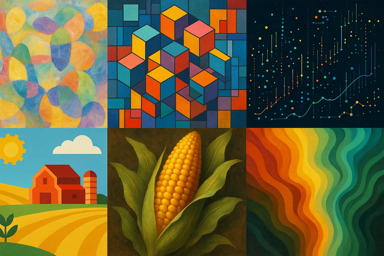
Large-scale multimodal dataset combining Sentinel-2 satellite images, high-resolution weather data, and USDA agricultural data, aligned spatially and temporally for the prediction of agricultural yields at the county level in the United States.
Multimodal data covering 2200 US counties, 6 years (2017-2022), satellite images, weather data, agricultural tabular data
CC BY 4.0
Description
The dataset CropNet includes three data modalities: Sentinel-2 images, WRF-HRRR weather data, and USDA agricultural data, covering 2200 counties in the United States over 6 years (2017-2022). These data are aligned spatially and temporally to facilitate the training of deep learning models aimed at accurately predicting agricultural yields taking into account climate and weather variations.
What is this dataset for?
- Precise prediction of agricultural yields at the county level
- Study on the impact of climate change on agriculture
- Development of multimodal models combining images and tabular data
Can it be enriched or improved?
This dataset can be enriched by adding additional climate data, the annotation of specific agricultural phenomena, or the integration of socio-economic data for more comprehensive analyses.
🔎 In summary
🧠 Recommended for
- Precision agriculture researchers
- Climatology
- Data scientists specialized in multimodal deep learning
🔧 Compatible tools
- PyTorch
- TensorFlow
- Hugging Face Datasets
- GIS tools
💡 Tip
Carefully align time modalities to optimize predictive performance.
Frequently Asked Questions
What data methods are included in CropNet?
Sentinel-2 (satellite images), WRF-HRRR weather data, and USDA county-level agricultural data.
Does this dataset cover regions outside of the United States?
No, it is limited to the 2,200 contiguous counties in the United States.
Is this dataset suitable for training on modest resources?
Being large and multimodal, it requires significant resources for training.


