Road Damage Detection Dataset
Dataset dedicated to the detection of road damage: potholes, cracks, sewer plates. It contains over 4,000 images with object detection annotations, ideal for predictive maintenance AI systems.
4,018 image files + annotations for detection, classic formats (JPG + JSON)
MIT
Description
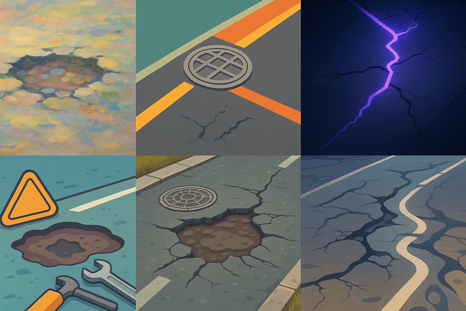
This dataset contains 4,018 annotated images depicting three types of common road faults: potholes, cracks and looks. Annotations are provided for object detection tasks (bounding boxes), facilitating the training of computer vision models in the field of road infrastructure.
What is this dataset for?
- Training models for the automatic detection of road damage
- Optimizing urban maintenance with embedded sensors (vehicles, drones)
- Develop analysis tools for local authorities or road operators
Can it be enriched or improved?
Yes, this dataset can be enriched with other defects (deformations, puddles, worn signage), or by merging the images with GPS or temporal data. Augmentation methods (rotation, luminosity) can also reinforce the robustness of the model.
🔎 In summary
🧠 Recommended for
- Smart city projects
- Civil engineering
- AI embedded in vehicles
🔧 Compatible tools
- YoloV5
- Roboflow
- OpenCV
- Detectron2
- Ultralytics
💡 Tip
Use the cross-classification of defect types to adapt alert thresholds according to severity (e.g. potholes = rapid intervention).
Frequently Asked Questions
Does this dataset contain segmented annotations or only bounding boxes?
Annotations are provided in the form of bounding boxes, in COCO format, without precise segmentation.
Can it be used to train an embedded model in a vehicle?
Yes, its size and format make it compatible with real-time models like YoLov5 embedded in mobile systems.
Does the dataset contain images from different weather conditions?
Not specified. For best results, it is advisable to perform an increase to simulate lighting variations.


