
Topview Lane
Dataset consisting of images and annotations of roadways seen from above. This corpus is suitable for training computer vision models on the detection and segmentation of pathways.
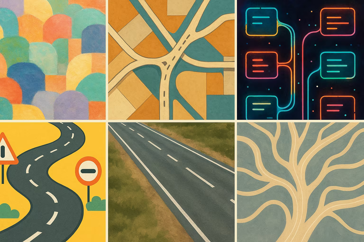
Description
Topview Lane is a data set comprising approximately 7,467 annotated images showing roadways viewed from above. The annotations are structured in Parquet format, allowing easy use for segmentation and detection tasks. This dataset is useful for the development of advanced autonomous driving systems or urban image analysis.
What is this dataset for?
- Training vision models for road lane segmentation
- Develop autonomous driving assistance systems
- Analyze the structure of road networks from above for mapping
Can it be enriched or improved?
This dataset can be enriched with finer annotations, such as lane type classifications, or by adding temporal data to analyze traffic trends. The integration of multimodal data (Lidar, GPS) could also improve trained models.
🔎 In summary
🧠 Recommended for
- Computer vision researchers
- Autonomous driving engineers
- Digital cartographers
🔧 Compatible tools
- PyTorch
- TensorFlow
- Detectron2
- CVAT for annotation
💡 Tip
Use this dataset with real-time traffic data to improve the robustness of autonomous driving models.
Frequently Asked Questions
Does this dataset contain images with accurate track annotations?
Yes, the annotations are structured and adapted to the segmentation of road routes.
Does the dataset include images under various conditions (day, night, weather)?
The conditions are not specified in the description, it is advisable to check directly in the source files.
Can this dataset be used to detect other urban objects?
Mostly oriented road lanes, but with additional annotation it can be extended to other urban objects.