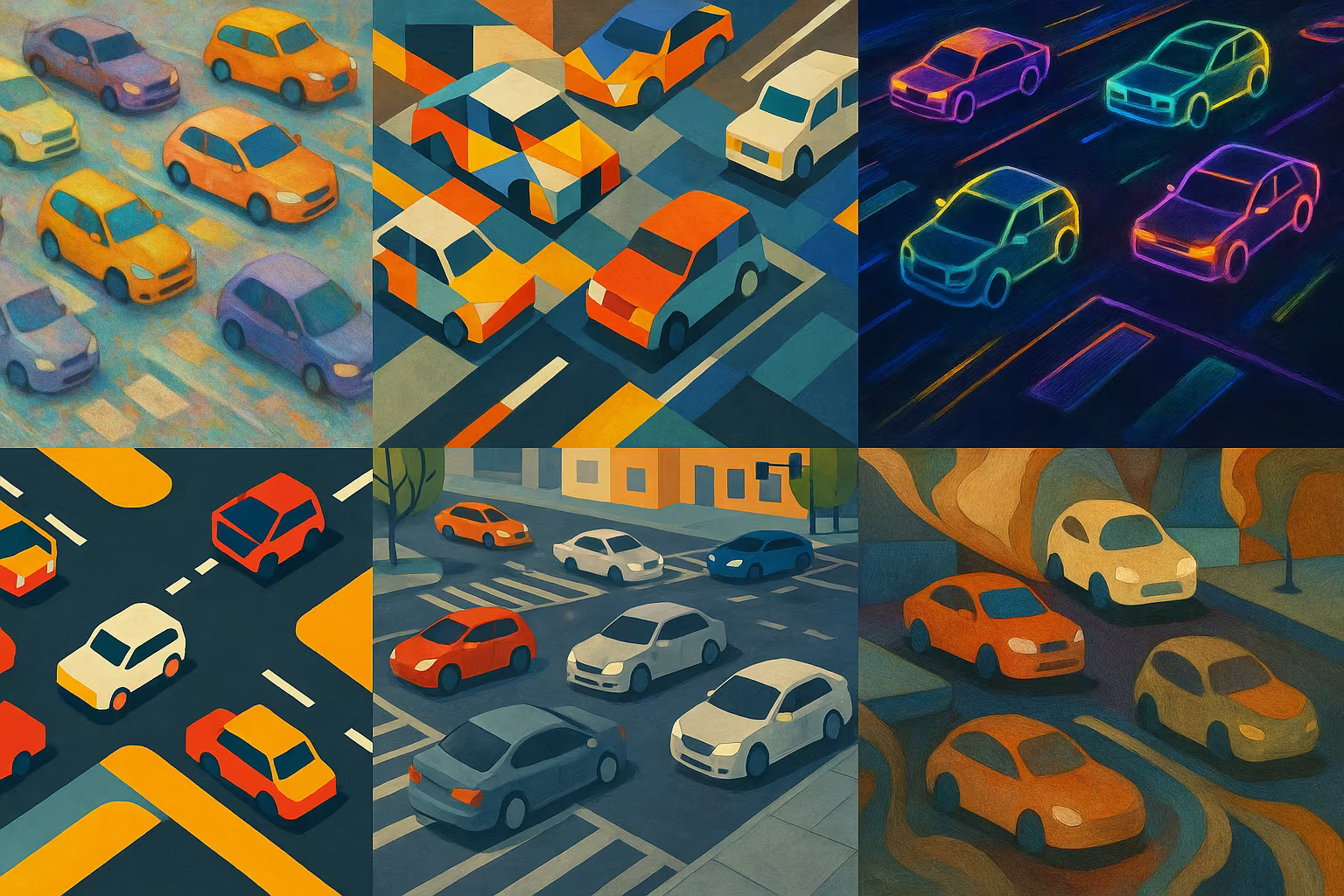
City Intersection Computer Vision Dataset
Dataset of images taken at city intersections, with detailed annotations on the types of vehicles present, intended for traffic analysis and the development of urban vision models.
1902 images with annotations, divided into files (train, test, validation, annotations in CSV format or similar)
Attribution 4.0 International (CC BY 4.0)
Description
The dataset City Intersection Computer Vision contains approximately 1900 annotated images, divided into training, validation, and test sets. Each image is accompanied by detailed metadata (24 columns) describing the vehicles detected. This data facilitates the study of traffic flow, urban planning, and the development of autonomous systems.
What is this dataset for?
- Analyzing the flow of vehicles in urban intersections
- Helping urban planning and traffic management
- Develop and test vision algorithms for autonomous vehicles
Can it be enriched or improved?
It is possible to add annotations on weather conditions, time of day, or traffic density to refine the models. An extension with videos or additional sensors would improve the value of the dataset.
🔎 In summary
🧠 Recommended for
- Computer vision researchers
- Urbanists
- Autonomous vehicle developers
🔧 Compatible tools
- YOLO
- TensorFlow
- PyTorch
- OpenCV
- LabelImg
💡 Tip
Take advantage of annotations to train multi-class and multi-object models in a complex urban context.
Frequently Asked Questions
What type of annotations are provided with this dataset?
Annotations include 24 columns detailing the characteristics of the vehicles detected in the images.
Can this dataset be used for autonomous vehicle systems?
Yes, it is particularly suitable for training and testing vision models for autonomous driving.
What is the format of images and annotations?
The images are in standard format (JPEG/PNG) with annotations in CSV or JSON format depending on the dataset.