Ships in Satellite Imagery
Dataset of satellite images extracted from PlanetScope with accurate annotations for the binary classification of ship presence.
4000 PNG images 80x80 pixels RGB, with binary labels “boat” or “not boat”
CC BY-SA 4.0
Description
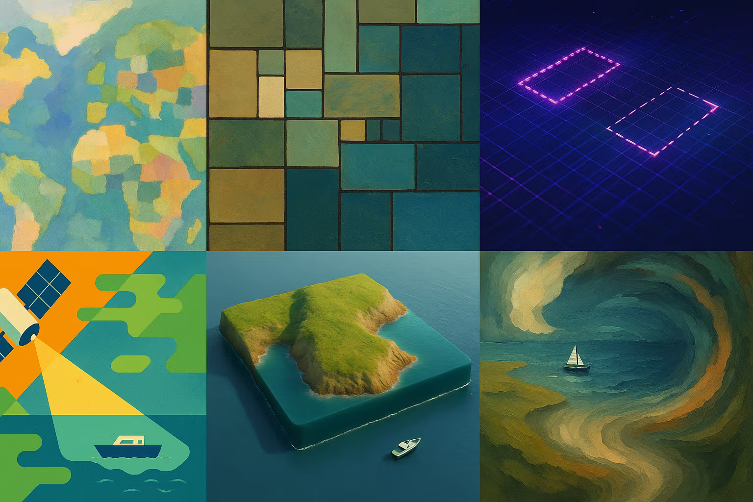
This dataset contains 4000 RGB satellite images (80x80 pixels) extracted from PlanetScope scenes around San Francisco Bay. Each image is annotated to indicate the presence or absence of a ship. The images capture various sizes, orientations, and atmospheric conditions, offering a realistic panel for training and evaluating computer vision object detection algorithms.
What is this dataset for?
- Develop models for the automatic detection of ships in satellite images
- Port Activity Monitoring and Maritime Logistics Chains
- Testing algorithms for binary classification and analysis of low-resolution images
Can it be enriched or improved?
Yes, we can extend this dataset with high resolution or multispectral satellite images. A more detailed annotation (type of ship, number, direction) could enrich the use. Integration with other geospatial data would strengthen applications.
🔎 In summary
🧠 Recommended for
- Satellite Vision Researchers
- Beginner ML engineers
- Maritime surveillance projects
🔧 Compatible tools
- TensorFlow
- PyTorch
- OpenCV
- Keras
- Planet API
💡 Tip
Use GPS metadata to enrich the geospatial contextualization of images.
Frequently Asked Questions
What is the resolution of the images in this dataset?
Each image is 80x80 RGB pixels, with a spatial resolution of approximately 3 meters per pixel.
Can this dataset be used to detect objects other than ships?
Primarily no, the annotations are specific to the binary detection of ships. The dataset should be enriched for other objects.
Does the CC BY-SA license impose any particular constraints?
Yes, any reuse must cite the source and share the derivatives under the same license (Share-Alike).