
Skyview Aerial Landscape Dataset
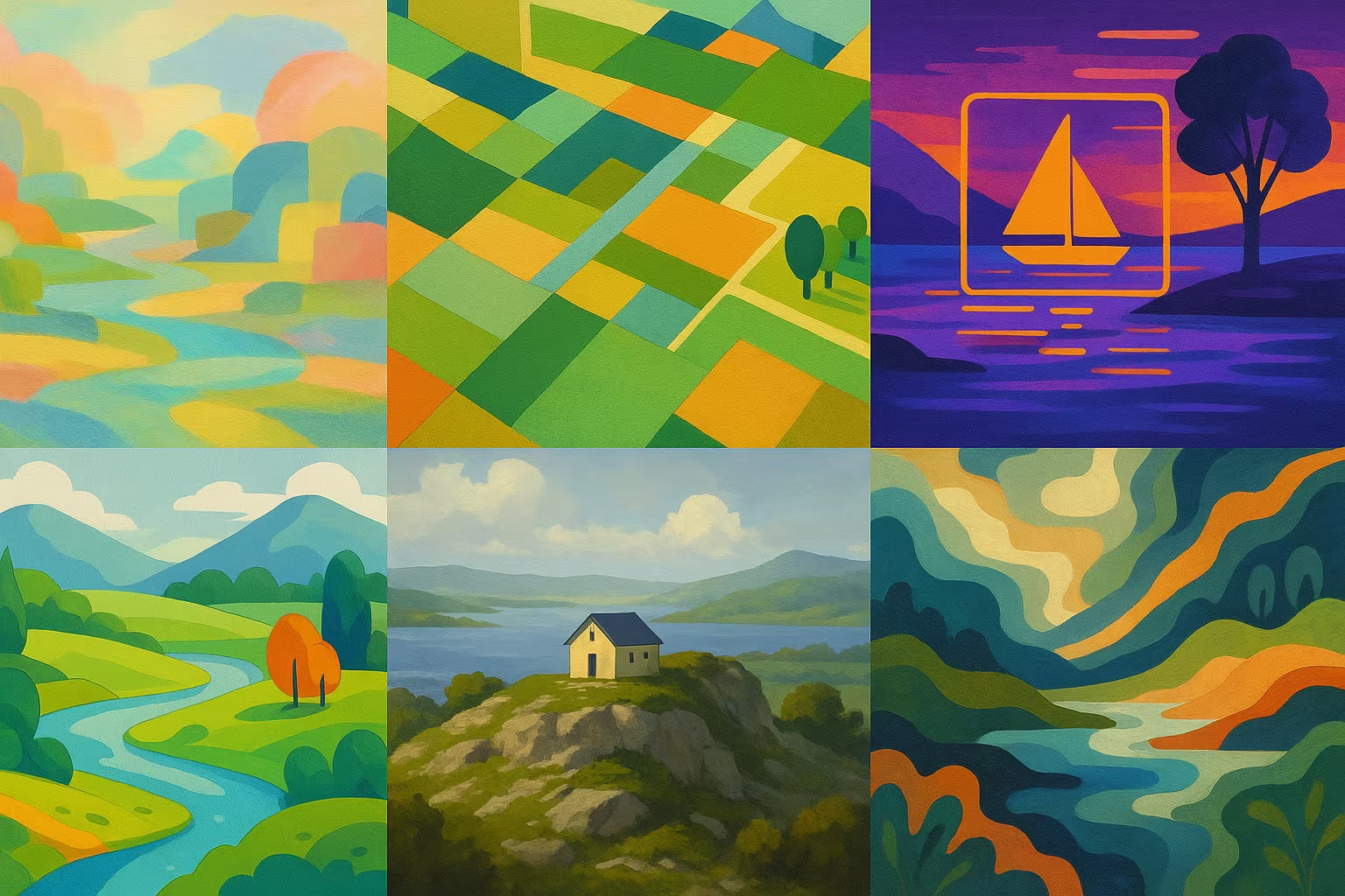
Skyview is an aerial image dataset comprising 12,000 photos divided into 15 landscape categories (agriculture, city, river, forest, etc.), with a resolution of 256x256 pixels. It is the result of the fusion of AID and NWPU-Resisc45 public datasets, intended for computer vision research.
Description
The dataset Skyview brings together 12,000 aerial images of landscapes divided into 15 different classes such as agriculture, airport, airport, beach, city, desert, forest, mountain, river, etc. Each image has a resolution of 256x256 pixels, which allows a good compromise between detail and fast processing.
What is this dataset for?
- Training landscape classification models from aerial images
- Develop environmental monitoring and urban planning systems
- Testing algorithms for analyzing scenes in computer vision
Can it be enriched or improved?
This dataset can be supplemented by additional annotations such as object segmentation, or by the integration of temporal data for the analysis of changes. Augmenting images can also improve the robustness of models.
🔎 In summary
🧠 Recommended for
- Remote Sensing Researchers
- Environmental AI developers
- Computer vision students
🔧 Compatible tools
- TensorFlow
- PyTorch
- OpenCV
- GIS tools
💡 Tip
Use image augmentation to simulate different weather conditions and improve robustness.
Frequently Asked Questions
What is the resolution of the images in this dataset?
The images have a fixed resolution of 256x256 pixels, suitable for rapid processing and classification.
How many image categories does this dataset contain?
The dataset includes 15 different categories representing various aerial landscapes.
Can this dataset be used for image segmentation?
This dataset is annotated for classification only, but can be enriched for segmentation with additional annotations.